Chart-Topping Cartography
Swann puts notable North American maps on the block
By Barbara Basbanes Richter & Emily ByrdBarbara Basbanes Richter is a freelance writer and frequent contributor to Fine Books & Collections based in New York. Emily Byrd lives in North Carolina and is the editorial cordinator of special publications at Journalistic, Inc.
Swann Galleries is the largest specialist auctioneer of works of paper worldwide, and nearly 75 years after its founding, it remains a leader of the New York auction scene as a provider of unique items with heady cultural significance. While online access means that buyers can place bids from any location, the Internet zeitgeist has left Swann Galleries’ core clientele of U.S. and New York-based buyers largely unchanged, resulting in an exceptional interest in items with a North American focus. According to Swann Galleries’ in-house specialist, Alex Clausen, “We’ve always seen a great demand for these items. The auction rooms are always packed, and it’s very exciting to watch the events unfold.” Luckily, this year’s December 8 Maps and Atlases auction is awash with remarkable cartographic material, headlining with William Faden’s 1777 North American Atlas, which is believed to be the best copy to appear at auction in over a century. It contains a stunning two-part map of New York City by British cartographer Bernard Ratzer and a map of the Western frontier by American surveyor Thomas Hutchins, along with forty other maps and battle plans that round out the atlas, which has a pre-sale estimate of $300,000-$500,000.
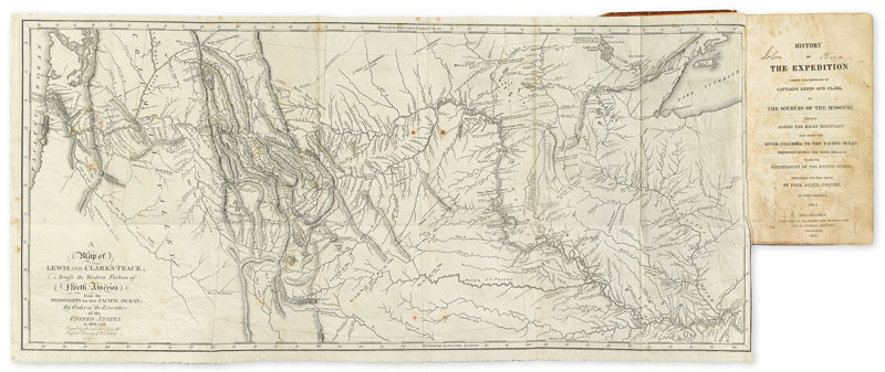
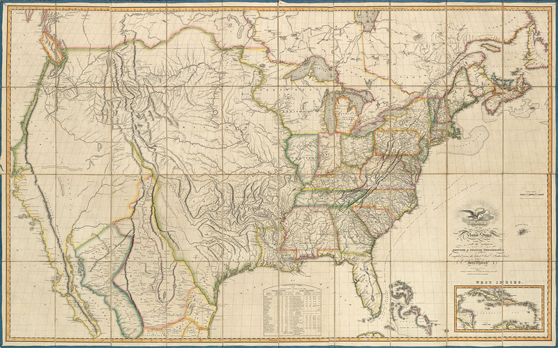
In addition, the auction will feature the cornerstone map of Lewis & Clark’s journey to the Pacific, with pre-sale estimates of $60,000-$90,000. Also on the block are maps from Thomas Jefferys, one of the most prolific cartographical publishers of the eighteenth century. His American Atlas: or, A Geographical Description of the Whole Continent of America contains twenty-nine maps of North America, many of which remained the standard until the nineteenth century. This significant piece of Americana will be available at the December sale with an estimated price tag of $60,000-$90,000. Scottish mapmaker John Melish’s 1816 Map of the United States will be appearing in nearly pristine condition. It is the first American large-format map to illustrate the United States from coast to coast. Other offerings drawing attention are Mount & Page’s The English Pilot, The Fourth Book, Describing the West-India Navigation; Dutch engraver Jodocus Hondius’ 1637 Historia Mundi, which includes the Hall map of Virginia and the Smith map of New England. Thomas Jefferson’s A map of the country between Albemarle Sound, and Lake Erie from 1787 includes Virginia, Maryland, Delaware, Pennsylvania and other early states, plus, a rare map of a Dakota Territory survey taken just prior to the Great Sioux War of 1876 which notes the founding of outlaw towns like Rapid City, Deadwood, and Spearfish.
All in all, this season is bringing an almost unprecedented number of high-profile items to Swann Galleries, further solidifying the already iconic auction house as an industry mainstay, and strengthening its position as a provider of North American cartography for collectors and history buffs.


